« The Nuclear Option Explained |
Main
| The Culture of Death »
April 9, 2005
Google Maps Fun
Google Maps new satellite image view is sure fun. Everybody's been posting neat pictures, and since I'm drunk and bored, I'm no exception.
Some favorites I've come across...
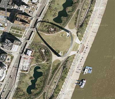
St. Louis Arch
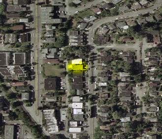
My High School

Canyonlands

Mt. St. Helens

Where I Am Now
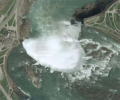
Niagara Falls
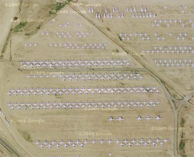
Some Airplanes in the Desert
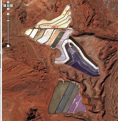
Salt Evaporation Pools
Posted by ahecht at April 9, 2005 12:34 AM
Previous Comments
Holy crap!!! That's coooooooool!!!
Posted by: Kevin at April 9, 2005 2:11 AM
Nice finds. I like the airplanes and the evaporation pools. Your place is really yellow. You should do something about that.
Posted by: Nootch Davis

at April 9, 2005 4:50 PM
check these out:
airplane in flight(you can track it as, it flies along the same direction the satellite was tracking. theres another plane in flight just east too):
http://maps.google.com/maps?q=DFW&ll=32.918429,-97.050980&spn=0.010922,0.011866&t=k&hl=en
national air and space museum steven f. udvar-hazy center under construction:
http://maps.google.com/maps?q=dulles+airport&ll=38.910023,-77.443893&spn=0.010922,0.011866&t=k&hl=en
devil's tower(no ufos in flight though):
http://maps.google.com/maps?q=devils+tower,wy&ll=44.590502,-104.715586&spn=0.010922,0.011866&t=k&hl=en
rainbow natural bridge:
http://maps.google.com/maps?q=lake+powell,ut&ll=37.076604,-110.964274&spn=0.010064,0.011780&t=k&hl=en
google rools
Posted by: tee gee at April 9, 2005 10:38 PM
Posted by:
Tim at March 30, 2006 12:08 AM